May 14, 2026 · Rotor Rate · Reviewed September 6, 2026
Drone Photography Pricing: 2026 Rate Guide
What to charge for drone photography in 2026 — typical rates by use case (real estate, weddings, commercial), how to build a quote that holds up, and the common mistakes that quietly kill your margin.
**Part of the 2026 Drone Services Rate Guide ** — this article is the deep dive for one vertical; the rate guide covers every industry side-by-side.
The single most-asked question from new Part 107 pilots is the simplest one: what should I charge? This guide gives you real 2026 ranges for drone photography, plus the math to defend whatever number you put on the quote.
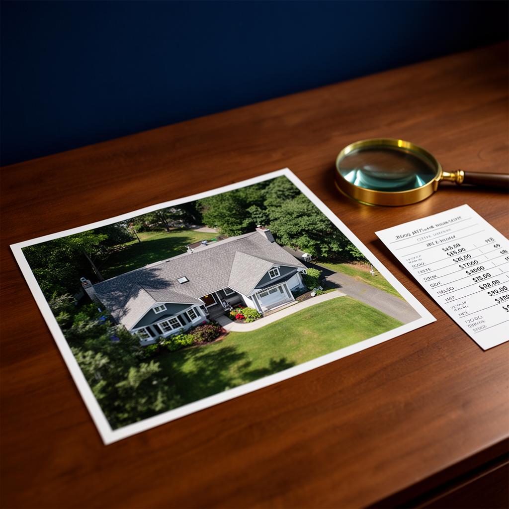
TL;DR — typical 2026 drone photography rates
These are the ranges most working Part 107 pilots in the U.S. quote. Your number will move inside (or outside) the band based on equipment, region, deliverables, and turnaround.
- Residential real estate: $150 – $400 per shoot (10–20 finished stills, optional short video)
- Commercial / luxury real estate: $400 – $1,200 per shoot
- Weddings & events: $500 – $1,500 for a 2–4 hour add-on; $1,500 – $3,500 for primary aerial coverage
- Construction progress photography: $250 – $600 per visit, often on a recurring monthly contract
- Commercial / brand photography: $1,000 – $3,500 per half-day
- Day rate (broad commercial): $1,200 – $2,500 / day
Hourly billing exists, but most clients hate it for photography work — they want a known number. Use a flat rate built from an hourly cost model, not the other way around.
What actually drives your rate
Two pilots in the same city can charge different prices for the same job and both can be right. Pricing is driven by:
- Equipment tier. An enterprise-class platform (Matrice 4E / 4T, Skydio X10) with a larger sensor and RTK isn't the same product as a baseline mapping aircraft. Clients who care about image quality will pay for the bigger sensor.
- Deliverables. 10 raw photos vs. 20 edited, color-graded, retouched stills is a 2–3x difference in your time.
- Turnaround. Same-day delivery commands a meaningful premium. Build it into the quote — don't eat it.
- Region. Major metros run 30–60% above rural rates. Don't quote NYC numbers in rural Ohio (or vice versa).
- Airspace. Class B / C / D airspace adds planning time and risk. Surcharge it.
- Licensing & usage rights. A local realtor's Multiple Listing Service (MLS) use is not the same as a national brand's web + paid social campaign. Price commercial usage separately.
The pricing formula
Use the same five-step formula from our drone services pricing guide, specialized for photography:
- Estimate total time. Planning + drive + on-site + flight + breakdown + editing. For a typical residential real estate shoot that's 4–6 hours, not the 30 minutes of flight.
- Multiply by your loaded hourly cost. This is your target take-home rate plus equipment amortization, insurance, software, and overhead.
- Add a deliverables line. Every additional finished still or minute of edited video is incremental editing time.
- Add airspace, travel, and licensing surcharges explicitly so the client sees what they're paying for.
- Apply a 30–50% margin. Below 20% you're buying yourself a job. Above 50% on a repeated package usually means you've under-counted overhead.
Common mistakes that quietly kill margin
- Quoting flight time, not project time. A 25-minute flight is 5 hours of work once you include planning, driving, and editing.
- Free re-edits. Always cap revisions in writing (1–2 rounds is standard). Anything past that is hourly.
- Mileage giveaways. The Internal Revenue Service (IRS) standard mileage rate exists for a reason — bake it into the quote past your local radius.
- Forgetting licensing. A photo used in a national ad campaign is worth multiples of an MLS listing. Don't sign away usage rights for the same flat rate.
- Race-to-the-bottom packages. "$99 drone photos" sets a price expectation you can't undo with that client.
How we built these ranges
The bands above aren't plucked from a single survey. They're the intersection of three sources we cross-check on every refresh: (1) Rotor Rate's in-app Industry Benchmarks panel — live low/avg/high pulls per industry, metro, and payload sourced from operator data and marketplace listings; (2) public rate boards on Droners.io and UAV Coach; and (3) the U.S. Bureau of Labor Statistics photographer occupational data as the labor floor. When two of the three disagree, we widen the band rather than pick a winner — the honest answer to "what should I charge?" is a range, not a point.
How to use this in a real quote
Before you send a number, run the job through Rotor Rate. The fair-pricing calculator turns your time, equipment, airspace, and margin into a defensible quote in under a minute—and the Refine & plan panel lets you layer on rush surcharges or certification multipliers (like Night or BVLOS) for high-stakes photography missions. The flat-rate verdict tells you when a flat package will lose money on a specific job. That's the difference between guessing and pricing.
Ready to stop guessing? **Try the calculator free (no card required) →
Sources & further reading
Photography pricing is anchored by labor data, industry analyst reports, and pricing fundamentals:
Labor & market data
- U.S. Bureau of Labor Statistics — *Photographers — Occupational Outlook Handbook
- U.S. Bureau of Labor Statistics — *Real Estate: NAICS 531 — industry data
Industry data
- Drone Industry Insights (DroneII) — *Drone Industry Insights — market reports
- Skylogic Research — *DroneAnalyst / Skylogic Research
- Droners.io — *Droners.io public job board
Pricing fundamentals
- McKinsey & Company — *The power of pricing
- Harvard Business Review — *Pricing strategy topic hub
Rotor Rate companion reads
- 2026 Drone Services Rate Guide — every industry, every band
- Drone pricing by experience: specialist vs generalist
- Drive time, mileage, and margin — how to charge for the windshield time
- How much real-estate agents pay for drone footage
- Drone photography copyright & licensing
- Pricing guide: Drone photography
- Drone post-processing pricing per industry
<!-- auto-freshened: 1.12, 1.7 on 2026-08-07 -->
Related guides
Go deeper on the rest of the drone-pricing topic — same framework, different angle.
Swipe for 4 links →
Drone Photography Pricing hub
Real-estate, brand, and event photo rate ranges with the math behind each.
How to Price Drone Services
The eight factors and bid formula behind every defensible quote.
Why Most Drone Quotes Lose Money
The hidden costs that quietly turn a profitable-looking bid into a losing job.
Hourly vs Flat-Rate Pricing
When to bill by the hour, when to quote a flat rate, and how to protect margin either way.
Next steps
What to do once you have a number you trust.
Swipe for 3 links →
Drone Photography Pricing Calculator
Photo-shoot calculator: stills, video, editing, licensing, rush — flat rate out.
Open the bid & profit calculator
Plug in your job, gear, and overhead. Get a defensible price, real profit, and an industry benchmark.
See Rotor Rate pricing & start a free trial
Save jobs, history, and benchmarks. Free to try, no card required.